museum-digitalsachsen-anhalt
CTRL + Y
en
Winckelmann-Museum Stendal Europäische Stadt- und Landschaftsansichten Stadtansichten, Landschaftsansichten [WM-VI-b-c-385]
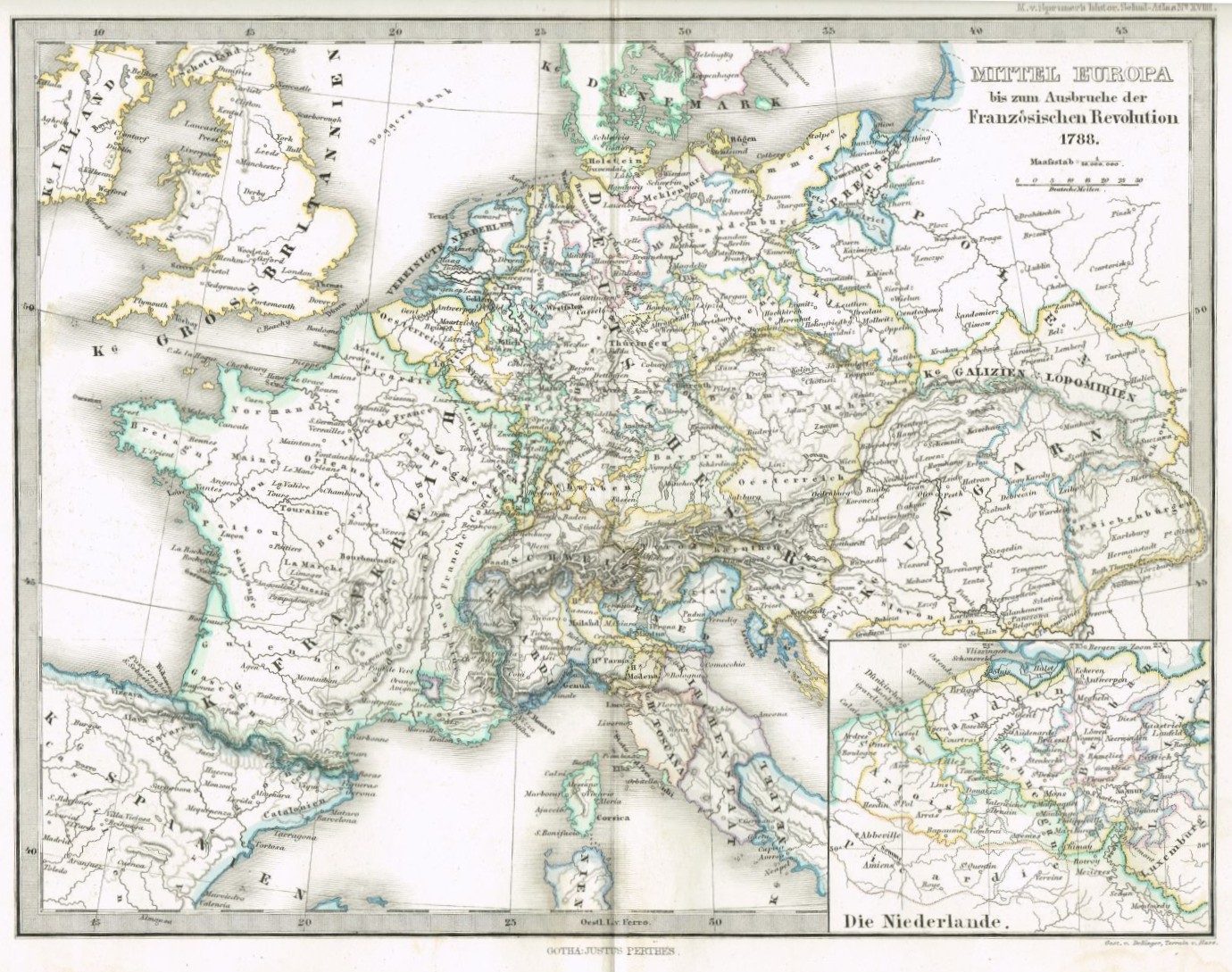
Mitteleuropa bis zum Ausbruch der Französischen Revolution 1788 (Winckelmann-Museum Stendal CC BY-NC-SA)
Provenance/Rights: Winckelmann-Museum Stendal (CC BY-NC-SA)
1 / 1 Previous<- Next->

Mitteleuropa bis zum Ausbruch der Französischen Revolution 1788

Contact Cite this page Data sheet (PDF) Calculate distance to your current location Archived versions Mark for comparison Graph view

Description

Die historische Landkarte zeigt die geographischen und politischen Verhältnisse im Mitteleuropa des 18. Jahrhunderts vor dem Ausbruch der Französischen Revolution. Die kolorierte Lithografie ist nach einem Kupferstich von 1873 gearbeitet. Sie ist ein Einzelblatt aus "Dr. K. von Spruner's Historisch-geographischer Schulatlas", GTotha, Verlag Justus Perthes, 7. Auflage 1873 und ist mittig gefaltet.

Material/Technique

Lithographie

Measurements

28,5 x 23,5 cm

Winckelmann-Museum Stendal

Object from: Winckelmann-Museum Stendal

Das Winckelmann-Museum befindet sich an der Stelle des Geburtshauses von Johann Joachim Winckelmann (1717-1768). Die ständige Ausstellung widmet sich...

Contact the institution

[Last update: ]

Usage and citation

The textual information presented here is free for non-commercial usage if the source is named. (Creative Commons Lizenz 3.0, by-nc-sa) Please name as source not only the internet representation but also the name of the museum.
Rights for the images are shown below the large images (which are accessible by clicking on the smaller images). If nothing different is mentioned there the same regulation as for textual information applies.
Any commercial usage of text or image demands communication with the museum.